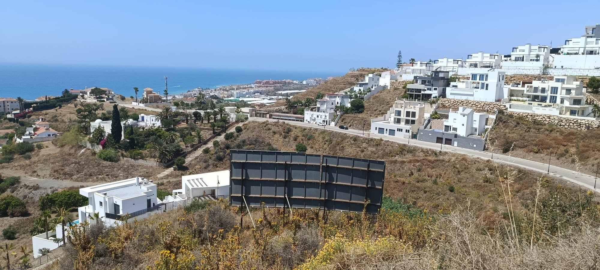
The Málaga coast is usually described from its western end, where Marbella and Puerto Banús set the tone. East of the provincial capital the same shoreline reads differently: fewer resorts, smaller towns, and mountains that come down close to the water. What follows is about that stretch as a place rather than as a destination — where the names come from, how long the journeys actually take, and what an ordinary week looks like.
Two coasts, two names
Names on this coast follow provincial boundaries. East of Nerja, at the cliffs of Maro–Cerro Gordo, the province of Málaga ends and the province of Granada begins. The Granada shoreline is the one that officially carries the name Costa Tropical: some 75 km from Cerro Gordo to La Rábita, shared by seventeen municipalities, with Almuñécar, Salobreña and Motril as its principal towns. West of that line the coast belongs to Málaga province and to the comarca of the Axarquía, and is signposted as the Costa del Sol Oriental. Torrox lies on the Málaga side, about ten kilometres from Nerja.
The boundary is administrative, and the growing conditions that gave the Costa Tropical its name pay it no attention. The same subtropical agriculture runs along both sides of it: the Axarquía is the centre of European mango and avocado cultivation, with Vélez-Málaga at its heart, and the orchards begin a few minutes inland from the sea. It is the reason the whole of this eastern stretch, on either side of the provincial line, is spoken of in the same breath — and the reason we describe our own location that way.
Distances are modest. From Torrox Costa the N-340 and the A-7 run west along the shore; Málaga city is roughly 50 km away, about three quarters of an hour outside the busy hours. Málaga Airport lies beyond the city on its far side, which adds some ten kilometres to the drive. Nerja is around ten kilometres to the east, Torre del Mar a similar distance west, with Vélez-Málaga — the administrative centre of the Axarquía, and where our own office is — just inland from it. Granada, over the mountains, is close enough for a day.
The two Torrox
Torrox is two places with one name. The old town sits inland at about 145 m above sea level: white houses, narrow streets, a Thursday market. Torrox Costa, four kilometres below it, is the coastal settlement — promenade, apartment blocks, beach bars, and the working end of everyday life. The municipality has around 22,000 inhabitants between the two. At the eastern end of the seafront, beside the lighthouse, lie the Roman remains known as the Villa romana de El Faro: a villa by the sea with its bath house, pottery kilns, and a salting works that produced garum and was later reused as a burial ground. They are protected as cultural heritage and sit directly on the promenade rather than behind a fence at the edge of town.
Torrox has described itself for decades as having the best climate in Europe. The phrase comes from a 2008 comparison of Mediterranean locations by the weather service MeteoGroup and has served as the slogan of the town ever since. Whatever weight one gives to such rankings, the mechanism behind them is not mysterious: the sea moderates the extremes, and the Sierra Almijara shelters the coast from the north. The practical consequence is a long shoulder season — terraces still in use well into the autumn, and winters mild enough for the orchards behind the coast to carry mango and avocado.
Northern Europeans have been settling here since the 1970s, Germans in particular: the municipal register counted them at around fifteen per cent of the population in 2015, the largest foreign group in the town, which is why signage and services in German are ordinary rather than remarkable. Everyday supply is unremarkable in the good sense — supermarkets and a weekly market in Torrox Costa, the larger shops around Torre del Mar and Vélez-Málaga, and the full range in Málaga city. Health care follows the same pattern: health centres in the municipality, the district hospital of the Axarquía at Vélez-Málaga, and the specialist hospitals of the capital beyond that.
Water, mountains and the rest of the week
The beaches here are dark sand and shingle rather than imported white, and they are long: El Peñoncillo, Ferrara and El Morche run one into the next along the municipality. Ten kilometres east, Nerja has the Balcón de Europa on its rock above the sea, the Cuevas de Nerja — the cave system found in 1959, with its prehistoric paintings — and, beyond the town, the protected cliffs and coves of Maro–Cerro Gordo, where the coast turns from developed to wild within a few hundred metres. Frigiliana, in the hills behind Nerja, is the whitewashed village that appears on the postcards, and it is a fifteen-minute drive rather than an excursion.
Inland the ground rises quickly into the Sierras de Tejeda, Almijara y Alhama Natural Park, where La Maroma reaches 2,069 m — the highest point in the province of Málaga, with snow on it in some winters while the coast below stays in shirtsleeves. Walking routes start within twenty minutes of the sea. For golf, Baviera Golf at Caleta de Vélez is the nearest course, with Añoreta closer to the capital and the density of the western Costa del Sol an hour away. The marinas at Caleta de Vélez and, over the provincial line, Marina del Este cover the boats.
Our project here
Sueños del Mar, our own cooperativa project, stands on this stretch at El Peñoncillo in Torrox Costa: twenty-two villas with private pools and sea views, built at cost price by the future owners themselves rather than by a developer. The three models and what the cooperativa structure means for the price are set out on the home page.
Sources: extent and municipalities of the Costa Tropical, Diputación de Granada and spain.info; comarca and provincial classification of Torrox as Costa del Sol Oriental, Axarquía, Diputación de Málaga; population of Torrox, Instituto Nacional de Estadística (municipal register); German residents as a share of the register, Andalucía Lab (figures for 2015); Villa romana de El Faro, declared cultural heritage, Junta de Andalucía; climate ranking, MeteoGroup comparison of Mediterranean locations, 2008, used by the town as its slogan and not a statement of our own; Acantilados de Maro-Cerro Gordo, protected natural area, Junta de Andalucía; La Maroma, 2,069 m, Sierras de Tejeda, Almijara y Alhama Natural Park; Cuevas de Nerja, discovered 1959; subtropical cultivation of the Axarquía, Junta de Andalucía. Road distances are approximate and differ by a few kilometres depending on the starting point within the municipality and the route taken. Figures are current at the time of writing and may change.